Smart Mapping & Visualization
We transform complex spatial data into clear, actionable insights through advanced mapping technologies, real-time visualization, and intelligent analytics that drive better decision-making.

Why It Matters?
Data on its own can be overwhelming and difficult to interpret. By representing information geographically, organizations can:
Understand where events and patterns occur.
Identify why certain areas perform better or face risks.
Make decisions faster by connecting data with real-world locations.
This ability to translate numbers into location-based insights ensures better communication, improved collaboration, and smarter strategies across industries.
What is Smart Mapping?
Smart Mapping is the process of transforming enterprise and spatial data into interactive visual tools that empower stakeholders across all levels. Whether you need operational dashboards, strategic maps for executives, or technical visualizations for GIS teams, our solutions adapt to your audience and goals.
Key Features & Capabilities
Instant Data-Driven Insights
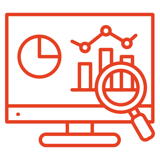
Visualize data geographically to identify trends, anomalies, and opportunities at a glance.
User-Friendly Process

Designed for both GIS specialists and business users, enabling easy map creation without technical barriers.
Enhanced Communication

Converts raw company data into compelling visual stories for better collaboration and stakeholder engagement.
Better Business Intelligence
Integrates business data with spatial context, such as identifying which regions drive the best sales performance.
Operational Efficiency

Streamlines logistics, supply chain, and asset management by mapping routes, delivery networks, and field assets.
Informed Risk Assessment

Displays environmental threats, property risks, or compliance zones clearly for proactive planning.
Competitive Edge

Reveals insights beyond traditional tables and charts, empowering organizations to stay ahead of competitors.
Benefits of Smart Mapping & Visualization
It helps organizations make better, faster, and more confident decisions. By presenting complex datasets in a clear and interactive way, it unlocks insights that drive efficiency, collaboration, and growth.
Smarter Decisions

Supports leaders with clear, real-time location intelligence.
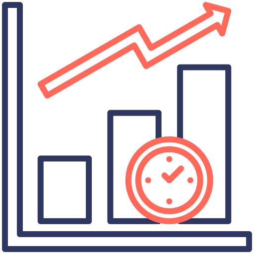
Improved Efficiency

Saves time and reduces costs through optimized workflows.
Greater Transparency

Strengthens communication with visual clarity across departments.
Risk Reduction
Helps organizations prepare for and mitigate risks effectively.
Market Advantage
Equips teams with faster insights to outperform competitors.